A multi-million dollar grant will soon boost UB's prestige as a nationally recognized research university as well as help fund international travels and projects for 30 students.
The Integrative Graduate Education and Research Traineeship program, funded by the National Science Foundation's $3.8 million grant, will finance doctoral students in their quest to break new ground in the field of geographic information science studies.
Doctoral candidates entering the program in 2004-05 who are U.S. citizens or have permanent residency will be eligible for a $27,500 to $30,000 stipend. The money will cover two years of intense study, a summer program in Italy and an international internship.
Currently, UB's Institute for Lasers, Photonics and Biophotonics receives a $2.7 million grant from the National Science Foundation, making UB one of the few universities to hold two Integrative Graduate Education and Research Traineeship program grants - commonly known as IGERTs -simultaneously.
"We're very proud," said Jaylan S. Turkkan, vice president for research at UB. "We have two IGERTs here at UB -that's really unusual."
Professor of geography and principal investigator for the grant David Mark said UB's exceptional ability to integrate various academic programs led to the foundation's decision to provide another round of funding to the geographic information science concentration. The concentration received its first five-year grant of $2.5 million in 1998.
"UB is very good at promoting interdisciplinary stuff," Mark said. "We're trying to make the doctoral tract a more attractive career course for our best and brightest."
Geographic information science is a doctoral concentration students can pursue while earning a degree from one of seven departments: anthropology, civil, structural and environmental engineering, computer science and engineering, geography, geology, industrial engineering or philosophy.
"Not only are we breaking down barriers between departments, now we're breaking down barriers between schools," said Turkkan.
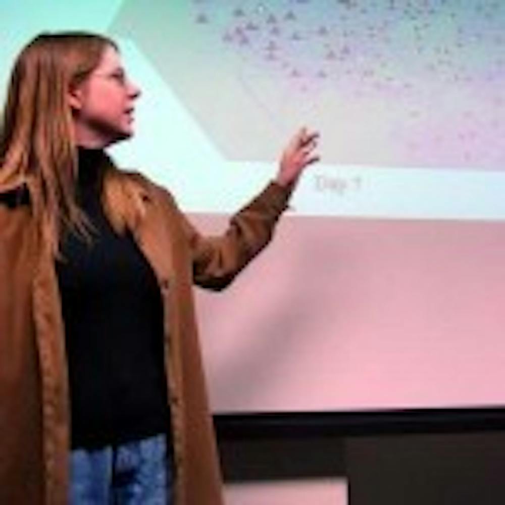
To present an idea of what geographical information science students are trying to accomplish, three students who received funding from the first grant five years ago showcased their research projects.
Valerie Raybold Yakich, a fourth-year geography doctoral student, is studying the ability of geographic information systems to take home addresses and change them into points on a map. Her point of concern is when those points on a map can be changed back into home addresses, and those home addresses in turn become public information.
This would be fine for scouting garage sale locations, she said, but not as good for a demographic database of AIDS patients, whose neighbors could potentially learn private information.
"My goal is to warn that these two types of information need to be treated with the same level of privacy," said Yakich.
Designing computer simulations of groundwater contamination is the focus of civil, structural and environmental engineering student James Craig's research.
It is projected that his simulations will be used in the future on a meta-regional scale to examine the possible outcome of an industrial spill or bioterrorism act.
Jeff Brunskill, a geology student, is examining how humans conceptualize large-scale weather events on Doppler radar and other representations versus in the natural world.
 Photo: Courtesy of SUNY
